Trekking & Hiking

Trekking & Hiking

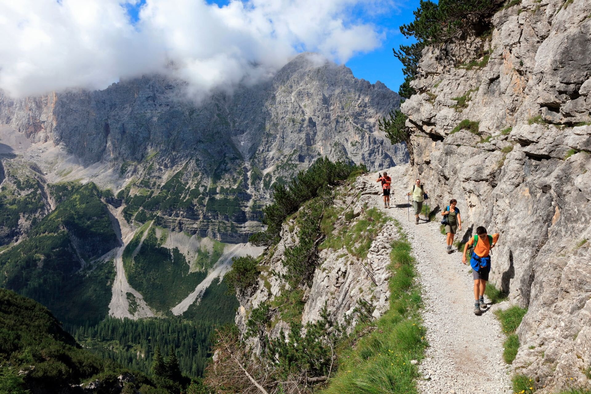
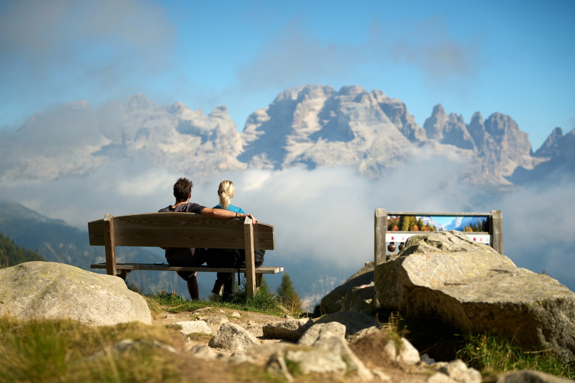
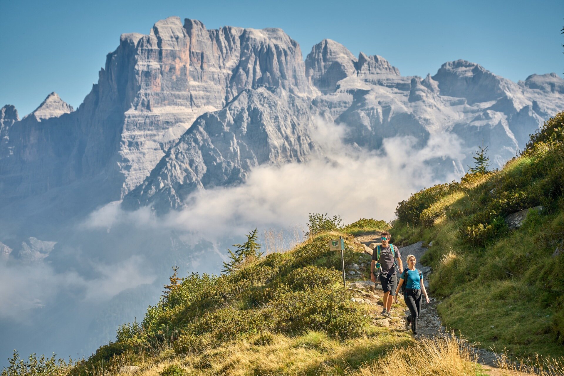
A journey on foot is the best way to get to know your surroundings and to slowly observe every detail. Listen to the sound of your footsteps and the soothing heartbeat of the trees in the Adamello Brenta Nature Park. The lifts in the Skiarea Campiglio Dolomiti di Brenta give you the chance to also experience what the mountains are like in summer. 
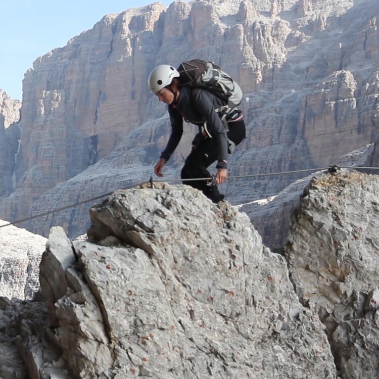
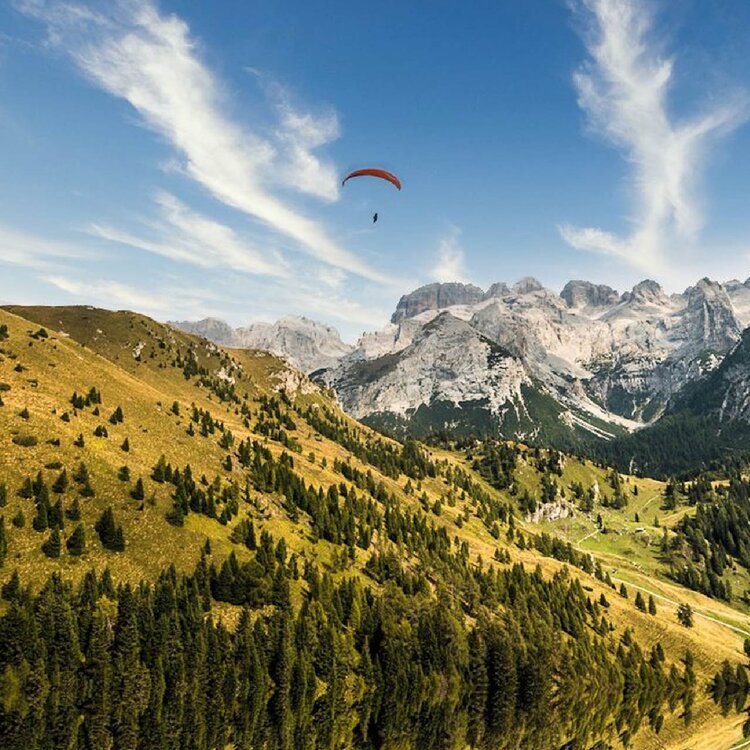
From the top stations of the lifts, you can admire the Dolomites and their infinite beauty. You can then decide which of the many hiking routes you'd like to try. There are all kinds of different trails to choose from, from family-friendly hikes to challenging trails for expert mountaineers. A great way to get in touch with nature. 

But if you're not an expert mountaineer, we highly recommend that you ask for detailed information and advice before starting off on your outing or you can also ask a Mountain Guide to accompany you. 


PINZOLO

Doss del Sabion
doss
The view is absolutely stunning. From the top station of the lift, follow the trail that goes up along the winter ski slope. Continue onwards until you reach Malga Cioca (alpine dairy) and then continue along the n. 357 forest road. Go around the mountain until you reach Malga Grual, from where the trail starts to be rather steep. You'll quickly reach a plateau, where you will also find the base stations of the chairlifts, and from here go west by following the road that goes right. Continue onwards until you reach the end of the road and then take trail n. 357B. Follow this trail up along the northern ridge of the “Doss del Sabion” mountain until you reach the top of the peak. You can also directly reach this point by taking the lift. From the Rifugio Doss del Sabion (mountain hut) continue down along the trail called “Soffio del Vento” (the Sound of the Wind), first you'll descend along the winter ski slope (Grual) and then east along the ridge. When you reach the junction in the road, return onto trail n. 357, that takes you to "Passo Bregn da l’Ors". In the area called “Madonnina”, follow trail n. 307 and, after passing the “Baita dei cacciatori” (mountain shelter), follow the dirt road to Malga Bregn da l’Ors. Get off the road, go right and follow the “Fratelli Tartarotti” trail n. 307B and, after passing the small bridge, cross through the pastures until you reach the area called Prà Rodont.
Rating: moderate
Total time: 5h
Distance: 11,6 km
[ Further details ]


Rifigio 12 Apostoli - Tour to XII Apostoli refuge
12apostoli
Challenging and highly satisfying excursion to the westernmost refuge of the Brenta Group with a magnificent view of the Presanella.
Rating: moderate
Total time: 5h
Distance: 12,6 km
[ Further details ]


MADONNA DI CAMPIGLIO

Giro dei 5 laghi - 5 Lakes Tour 
ritort
Surrounded by granite rock and fascinating alpine lakes, this has become a favourite hiking route. A classic hike along the slopes of the Presanella mountain range.   
From the Rifugio Pancugolo (mountain hut), near the top station of the 5 Laghi lift, trail n. 232 gradually takes you up to Lago Ritort. The real climb starts here. Follow the trail until you reach Passo Ritorto. There are several ups and downs along the route until you reach Lago Lambin. Before you continue, stop and admire the crystal-clear water of this magnificent mountain lake. Recharge your energy level and continue your hike towards Lago Serodoli. When you reach the bivouac, you can add a short detour to your hike to discover a little hidden piece of paradise on earth, Lago Gelato, or you can continue along trail n. 226 until you reach Lago Nambino.
After a tasty break at the mountain hut, you can continue your hike by following the trail that leads you to Piana di Nambino. Follow the winter ski slope to return to your starting point. 
Rating: moderate
Total time: 6h
Distance: 14,8 km
[ Further details ]


Cima Zeledria
monte-zeledria
The hike up to Monte Zeledria is short but steep, especially along the first part of the route. But the view makes it all worthwhile.
Take the Pradalago lift and then follow the trail near the mountain hut. It's a steady climb up the mountain. The only point during which you need to be extra careful is where you'll find a short metal ladder that allows you to climb over a rocky spur. There are no other areas like this along the rest of the hike. 
When you reach the top, the view will leave you speechless. You can enjoy a breathtaking view of the Brenta Dolomites and numerous alpine lakes in the area. At the very top of the peak, at 2.427 meters, you'll see a strange metal flag “flapping" in the wind. When you reach the peak, you can choose to either go to Lago Serodoli, by following trail n. 226B, or Lago delle Malghette by following trail n. 267A.


Orti della Regina - Queen gardens tour
ortidellaregina
Legend has it that this is the place where a queen stopped to rest with her army of knights who prepared a place to sleep for her among the rocks. They used a freshwater spring to water the surrounding land and magically different varieties of flowers and shrubs began to grow. This is why this area is called "Orti della Regina" (the Queen's gardens), one of the most beautiful areas in the Brenta mountain range that can be described as a natural terrace. A highly important geological and botanical area. At the foot of the Pietra Grande peak, you can see numerous marine fossils. 
This isn't a demanding route and it easily takes you through rocky sections and ledges. You can take the Grostè gondola lift to reach this area, then follow trail n. 336 near the Rifugio Graffer mountain hut.
This was one of Empress Sissi's favourite spots during her holidays with the rest of the Austrian court, and we can't blame her, the view is breathtaking.
Rating: easy
Total time: 2h
Distance: 4,5 km
[ Further details ]


Camp Centener
From the town center of Madonna di Campiglio, take the gondola up to Monte Spinale. Then follow trail n. 331 that takes you through flowering fields belonging to the ancient "Regola di Spinale-Manèz" (collective ownership of lands), rocky outcrops and sinkholes until you reach the area called Camp Centener (basin) and a small lake, Lago dello Spinale. From here you can continue onwards to reach the Boch or Graffer mountain huts.
Rating: easy
Total time: 1h
Distance: 2,5 km 
[ Further details ]


Malghe Vagliana & Vaglianella (alpine dairies)
This is an easy itinerary that will take you to two summer alpine dairies Malga Vagliana and Malga Vaglianella. This hike starts in the area called "Fortini" and you can take the lift up to the middle station of the Grostè gondola lift. Follow the trail down Malga Vagliana. Go past this alpine dairy and follow directions to Malga Vaglianella. Then return by continuing onwards to Malga Mondifrà, where you can stop fro lunch or to take a break. Then follow the road back to your starting point, close to the Grostè gondola lift in the Fortini area. 
Rating: easy
Total time: 2h 30min
Distance: 5,5 km
[ Further details ]


Monte Spinale
spinalemonte.jpg
If you're looking for an easy walk, Monte Spinale is the perfect spot. Take the lift up to the top. Here you can take your time to admire the beauty of the Dolomites and in order to return down to the town center of Madonna di Campiglio, you can follow the unpaved road from Malga Fevri or the trail surrounded by fir and larch trees that will take you down to “Piazza Imperatrice”, a lovely panoramic point dedicated to Sissi, the Austrian Empress, that enjoyed long holidays in the area. 
Rating: easy
Total time: 1h 40min
Distance: 4,0 km


Monte Spinale- Vallesinella Alta 
vallesinella

From the top station of the Spinale gondola, go towards Malga Fevri and then towards the Vallesinella valley and the Vallesinella waterfalls. Then go down to the Rifugio Vallesinella mountain hut. It is also possible to return to Madonna di Campiglio by following the trail called "Sentiero dell'Orso", this will add 1 hour to the time of your itinerary.
Rating: moderate
Total time: 2h
Distance: 4,5 km
[ Further details ]


Giro dell'Imperatore - The Emperor's Tour
From the Rifugio Boch mountain hut, that can be reached by taking the Grostè gondola, follow directions to Lago Spinale, first you'll cross through the lovely fields in an area called "Camp Centener" and then along the Sat trail n.331 until you reach a junction. Go left along the top of the hill that surrounds the pasture at "Camp Centener", then gradually go down until you reach the Corna Rossa trail (Sat n. 382). Follow this trail all the way to the Rifugio Graffer mountain hut. You can shorten your itinerary here by going to Rifugio Boch or Rifugio Stoppani, they can both be reached by taking the Grostè gondola. From Rifugio Graffer, follow the Claudio Costanzi trail (Sat n. 336) for about one hundred meters, then go left and go down towards the striking plains at the base of the Pietra Grande peak where you will continue your hike through fields, larch trees and mountain pines. Once you reach the Dos del Sparaver mountain col, at a height of 2.140 m, cross over to the slope where the high mountain pastures of Malga Vagliana are located; continue downwards, and just before you reach the alpine dairy, you'll find a detour that in just a few minutes will take you to the gap between the peaks. You'll then find a flat section followed by a short climb that will take you to the end of your itinerary arriving at Rifugio Boch.  
Rating: moderate
Total time: 3h 30min 
[ Further details ]


Rifugio Tuckett and Rifugio Sella mountain huts
tuckett.jpg
Located on a rocky spur at the base of the Castelletto Inferiore. Punta Massari is right in front. The surroundings here are harsh but impressive. 
The Rifugio Tuckett mountain hut, located near Rifugio Sella, is just over an hour's walk from Passo Grostè. You can reach this mountain hut by taking the Grostè gondola. From Rifugio Stoppani follow trail n. 316. We recommend that your return by going down to Vallesinella, along trail n. 317. 
Rating: easy
Total time 3h 30min
Distance: 8 km
[ Further details ]


FOLGARIDA MARILLEVA

Malghet Aut - Monte Vigo Walking Route

passeggiata-MAut-MonteVigo.jpg
Just after the base station of the Folgarida gondola (1.300 m) walk up to Malghet Aut (1.856 m), first along a forest road and then by following a trail. It's also possible to take the gondola up to the top. 
Follow the trail until you reach Monte Vigo (2.180 m) in approximately 1 hour. It's also possible to reach Lago delle Malghette from Rifugio Orso Bruno by walking down the SAT trail n. 201.


Sentiero dei pastori - The Shepherds' Trail

sentiero-pastori.jpg
This trail takes you along an ancient route that was once used by shepherds to move their cattle from one area to another. Cross through an S.C.I. (Site of Community Importance), where you will find a lush biotope and where you can also enjoy breathtaking views of the Cevedale mountain range. Informative panels have been placed along the route to provide information on the history of agricultural and livestock farming in the area, in addition to local legends and tales. 
This is an easy route that starts from Malga Panciana at the top station of the Copai - Malga Panciana gondola (1.820 m). After a moderately difficult slope, you'll reach a panoramic plateau. From here continue towards the Rifugio Solander mountain hut and then to Lago delle Malghette. You can return by following the same trail back to Malga Panciana or you can walk up to the Rifugio Orso Bruno mountain hut.


Purchase your ticket

Calculate the price

Thank you!

Thank you for subscribing!

Close

Subscribe to our newsletter


* Required info

Language

Interests

close
close

Contact us

Folgarida Marilleva
+39 0463 988400

Madonna di Campiglio
+39 0465 447744

Pinzolo
+39 0465 501256

Dichiarazione in merito al GDPR (Regolamento Generale Protezione dei Dati)

In caso di sottoscrizione Newsletter dovrai confermare l’iscrizione per mezzo mail di conferma inviata all’indirizzo di posta inserito. Ecco le informazioni essenziali sul trattamento:

  • L’attività è svolta da SkiArea Campiglio Dolomiti di Brenta che rappresenta più contitolari del trattamento.
  • i dati acquisiti saranno utilizzati per l’invio di materiale di carattere informativo, promozionale o pubblicitario e saranno conservati e trattati per la medesima finalità sino al momento in cui l’interessato non faccia richiesta di cancellazione/disiscrizione attraverso i canali previsti. L’attività è svolta previo specifico consenso. È prevista la profilazione dell’utente in gruppi, status, preferenze secondo quanto indicato e dedotto dalle informazioni inviate tramite il form o successiva autonoma profilazione.
  • Puoi trovare la privacy policy completa al link https://www.ski.it/privacy


Credits


Strategic Supervision

Real Web Srl
real-web.it | contact@real-web.it 

Concept, Design, Web

KUMBE Web & nuove tecnologie
www.kumbe.it | info@kumbe.it 

Project manager, Webcam HD & PanoramaWebcam

DIGISTYLE.IT
www.digistyle.it | info@digistyle.it

Hide video